
Last night was so unbearably hot, we slept with 3 fans in our cabin. Each one of us has our own fan, and an oscillating one to keep the air shifting around. It was 91 degrees yesterday, which means it was a solid 86 at 11pm. In Aldeboarn this morning, the internet was a bit spotty (not sporty), so we decided to leave and head for Gorredijk and take our chances that the connectivity was better there (and it is).
On exiting Aldeboarn this morning, we drove under a fixed bridge that was only a few inches taller than our flag pole. Oh, I probably haven’t mentioned that this route requires us to have the mast folded down as well as the upper steering station windows due to the low height of the bridges. The other interesting thing about the bridges is that the heights are in DECIMETERS, so a bridge height that says 9 really means .9 (which you probably couldn’t even slide under if you were laying on a paddleboard).
Nature on Steroids
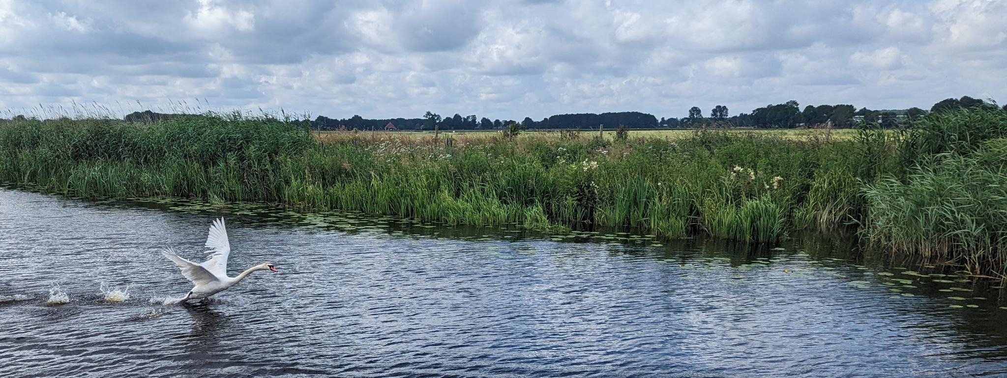
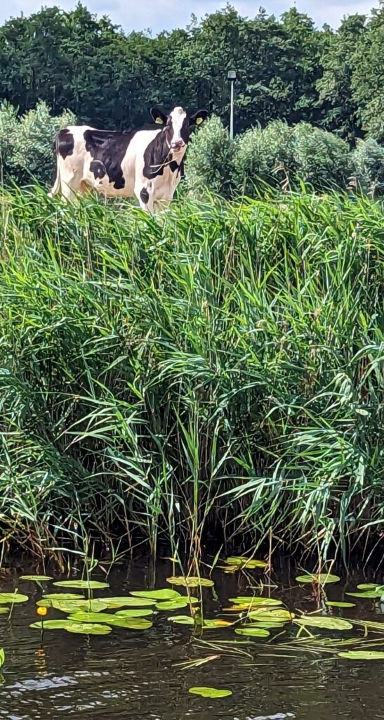
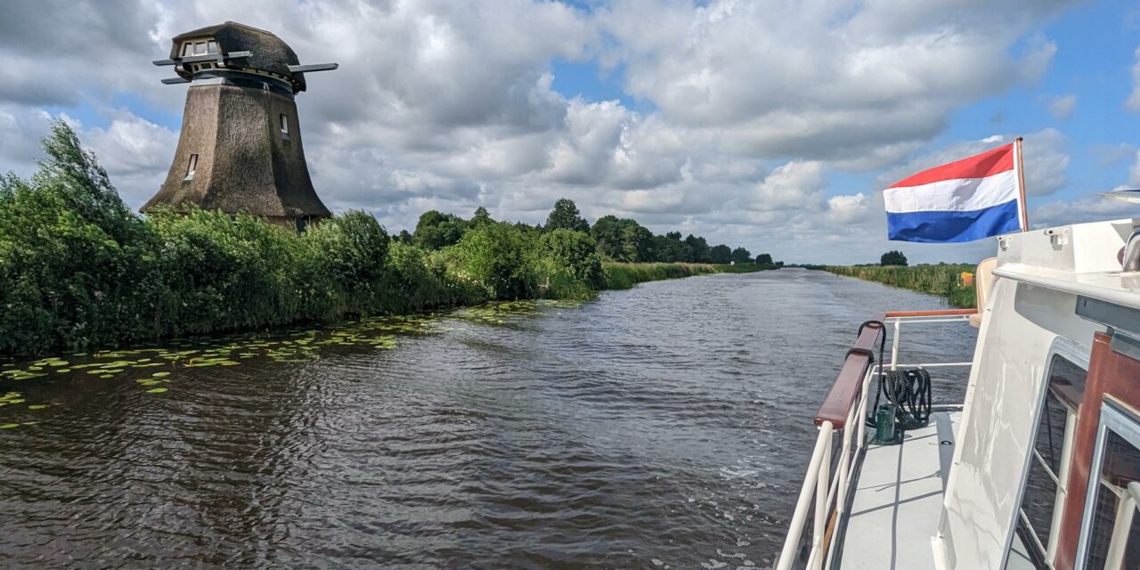
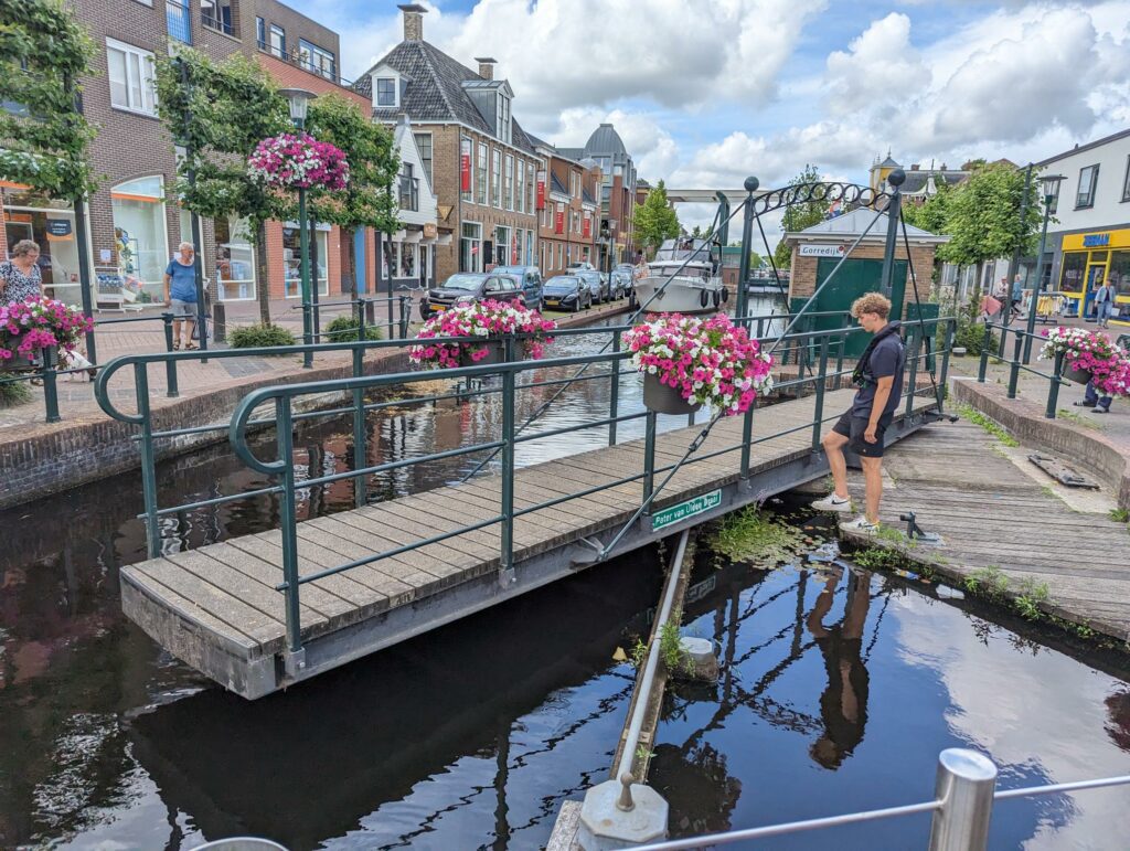
We found ourselves in beautiful nature, surrounded by kilometers and kilometers of farmland and cows. Occasionally there would be someone riding past on a bike, or a small family in a small boat, but for the most part we were by ourselves. Except for the cows. At 10.6m, we’re one of the larger boats on the Turf Route, and it really shows when you are going down the canal in the middle of a town.
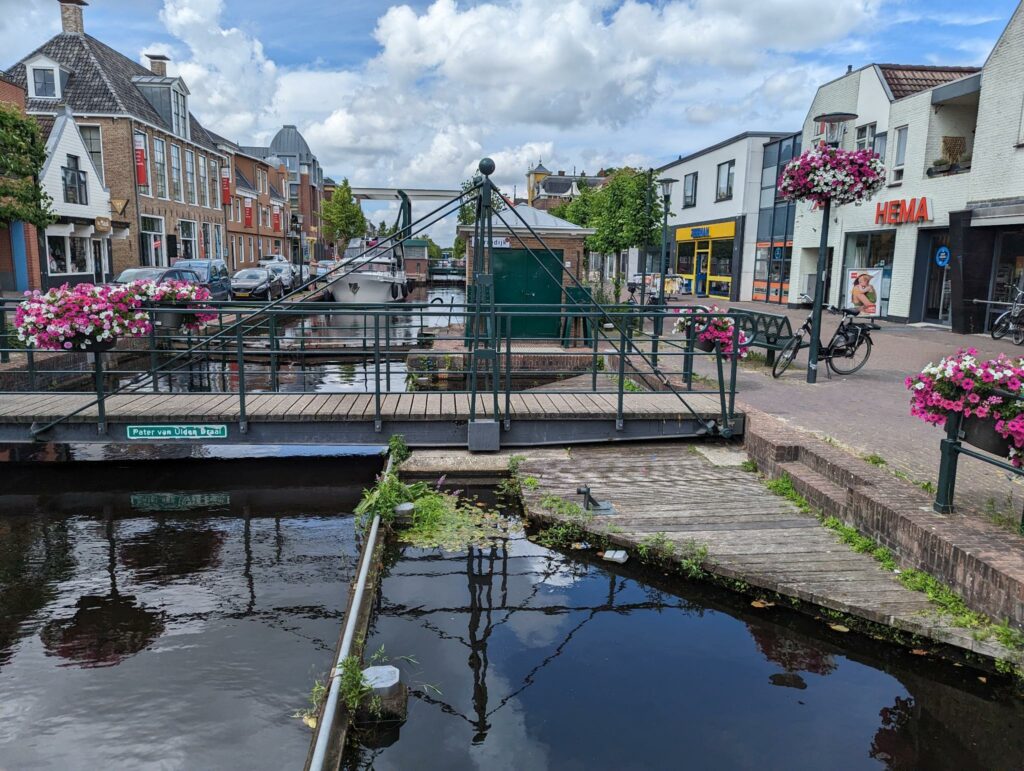
To get to Gorredijk, you drive past the Sudergemaal pumping station. Sadly, it is currently closed. It was built in 1924 to drain the polders and was one of the first electric pumping stations built in Friesland. After passing that, we went under another fixed bridge, and then through 3 more opening bridges (they are either drawbridges or they rotate). Finally we were at the opening bridge to get into Gorredijk.
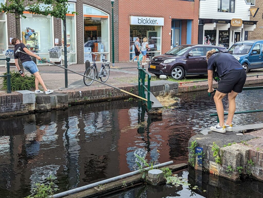
Once you get the attention of the first bridgekeeper, that person sticks with you for the entire set of bridges. It seems that it’s this way for these small villages, but these are small bridges and small hops (maybe 100m) between the bridges.
Bridges and Bridges and Bridges and Locks
As soon as we were at the entrance to Gorredijk, we went through:
- Drawbridge #1
- Drawbridge #2
- Drawbridge #3
- Rotating Bridge #1
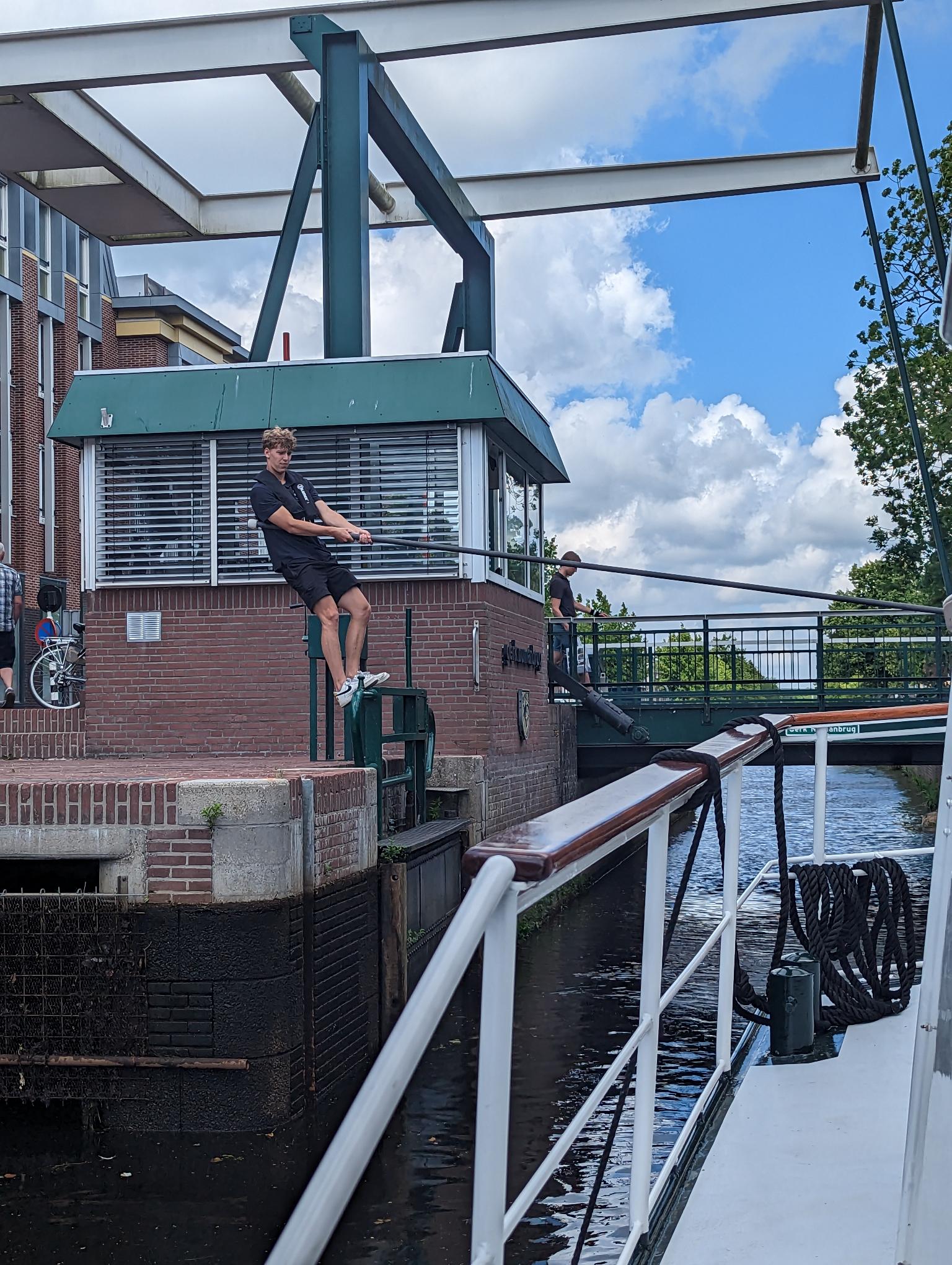
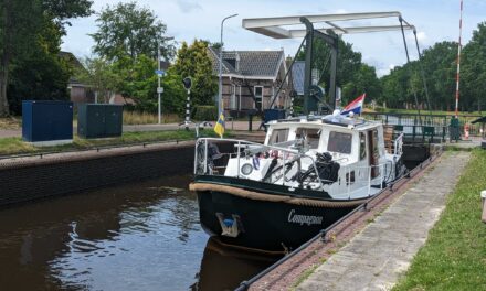
- A LOCK! We did a lock today! Manually operated!!!
- Rotating Bridge #2
- Drawbridge #4
- Drawbridge #5
I get why they want experienced boaters only on this route.
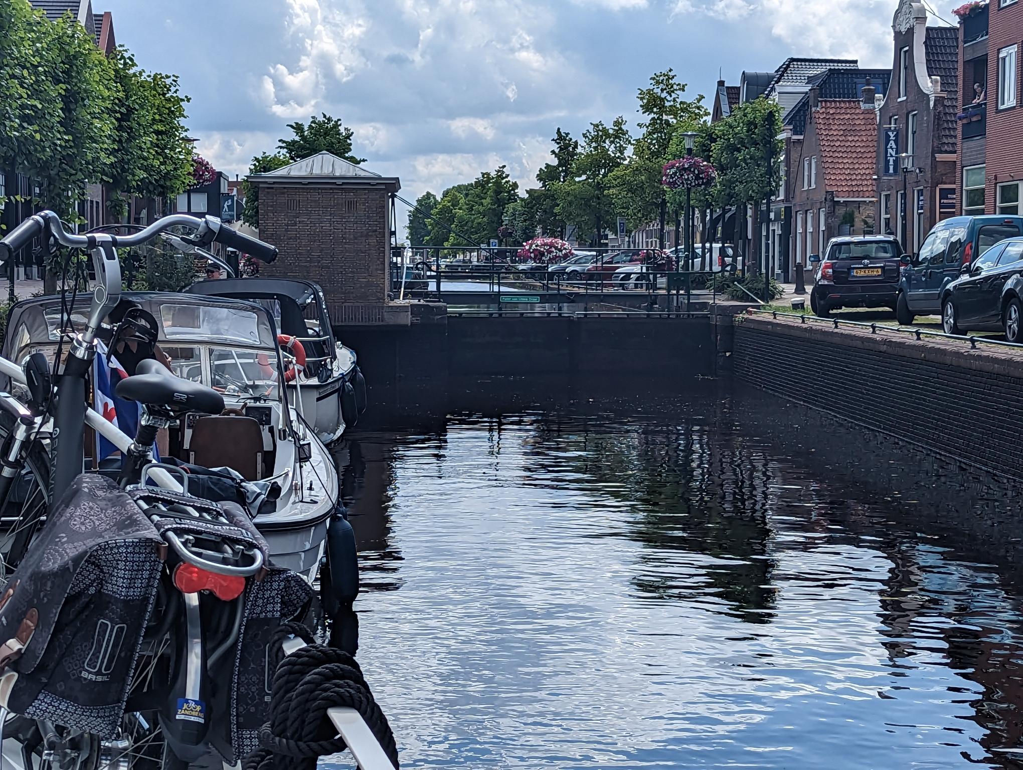
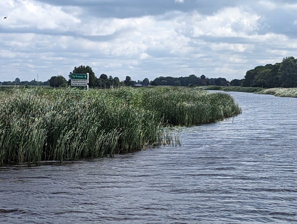
Opsterlandse Compagnonsvaart
We are currently moored just outside of the last bridge in Gorredijk on the Opsterlandse Compagnonsvaart (haha, Compagnon the boat is on the Compagnon canal!). The canal is a 34km canal between Gorredijk and Appelscha. It was dug in 1630 for the transport of peat (which was used to heat houses). In 1974, there was a movement to do away with the canal, but an individual said “no way”, and managed to keep the canal open. About 1500 boats pass down this route every year.
We are Going Uphill
There are NINE LOCKS ahead of us, and they are ALL manually operated. This is because Appelscha (which is technically the beginning of the Turf Route, but we got on the road in the middle of it) is 12m higher than Gorredijk. There are no facilities for pumping up the water in the Opsterlandse Compagnonsvaart. All the water that flows through the canal comes from the area itself.
#notpanama
Gorredijk Local Knowledge
All the major chain stores are here: Jumbo, Albert Heine, Aldi, Action, Blokker, Hema, Kruidvat
There is mooring on the west side of town on the right side of the canal. It appears to be pay for the evening. No trees there. There is mooring on the east side of town, covered trees, but electricity is 3 hours for 50 cents. If it’s a hot day, I’d moor where the electricity doesn’t run out.
Recent Comments